LiDAR & coastal resilience
JALBTCX Toolbox
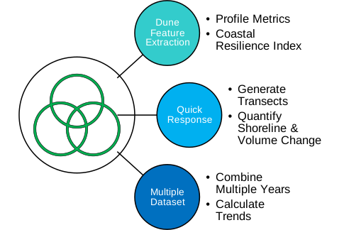
Operational need: Process large coastal LiDAR datasets consistently for elevation, volume, feature, and resilience analysis.
Delivered capability: A modular ArcGIS toolbox supporting volume calculation, feature extraction, resilience quantification, and visualization across hundreds of gigabytes of data.
Why it matters: Reusable modules make complex methods accessible inside familiar GIS workflows while supporting repeatability and technical review.
View the authoritative project resource →
Restoration planning
LASAAP Toolbox
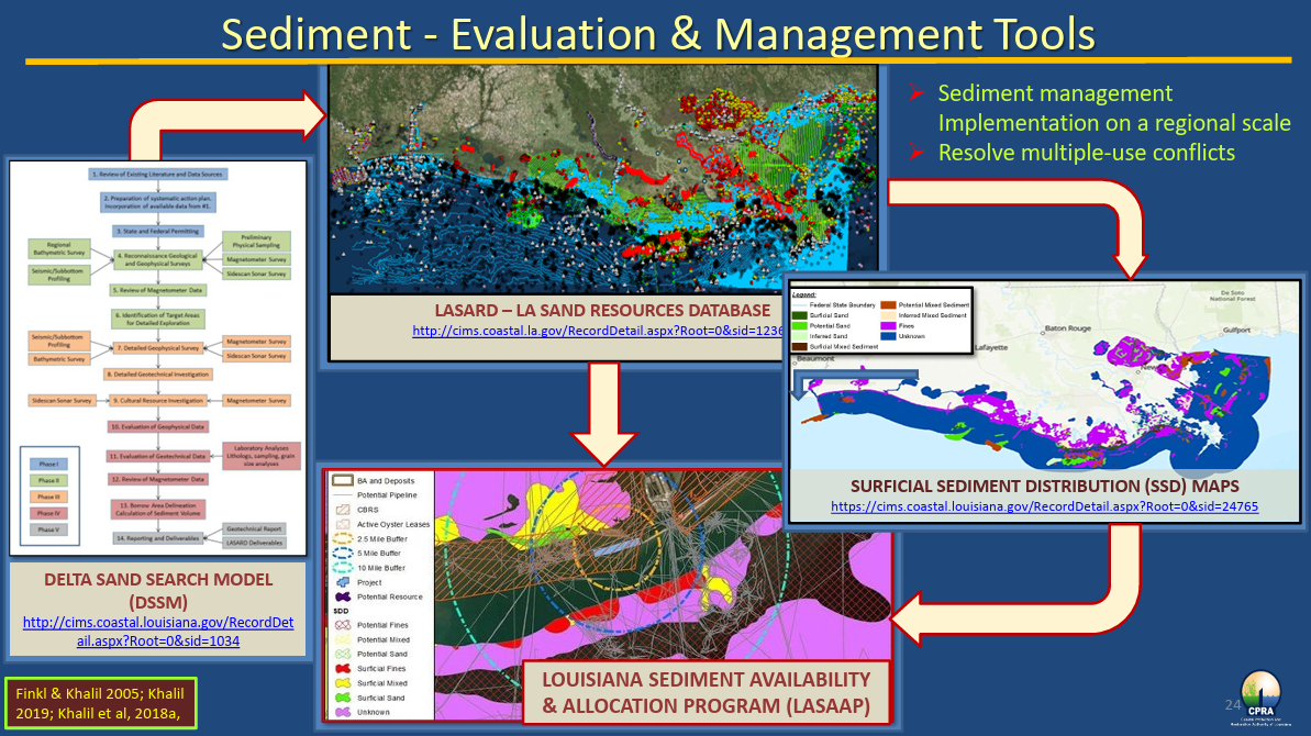
Operational need: Bring dispersed sediment information, environmental considerations, and regulatory requirements into a consistent evaluation workflow.
Delivered capability: A geospatial decision-support tool integrating multiple databases and regulations for sediment evaluation and ecosystem-restoration planning in Louisiana.
Why it matters: Structured evaluation helps technical teams compare alternatives and preserve the evidence behind decisions.
View the project story →
Cloud geospatial integration
Google Earth Engine–ArcGIS Pro Connector
Operational need: Give GIS practitioners access to Earth Engine data and cloud processing without abandoning familiar ArcGIS Pro workflows.
Delivered capability: Tools for exploring, downloading, uploading, processing, and managing Earth Engine resources from ArcGIS Pro.
Why it matters: The connector bridges desktop GIS and planetary-scale cloud analytics, reducing workflow fragmentation and broadening access to remote-sensing data.
Explore the open-source project →
Delivery model
From expert method to operational capability
Tellus starts with the real analysis process: inputs, scientific assumptions, manual steps, quality controls, and decisions. We then design, validate, document, and hand off software that fits the team and its technical environment.
Explore Tellus services →