Applied expertise
Coastal and hydraulic modeling, spatial data pipelines, LiDAR and remote sensing, enterprise GIS, scientific-code modernization, workflow automation, and human-in-the-loop AI.
Founder expertise
Coastal engineer, geospatial data scientist, and GIS software developer building the systems behind complex spatial and engineering analysis.
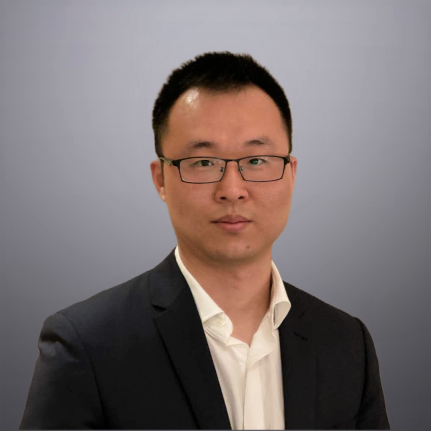
Dr. Zhifei Dong founded Tellus to help engineering, government, environmental, and research teams modernize the geospatial workflows on which their decisions depend. His work combines coastal processes, spatial analytics, scientific computing, cloud platforms, and applied AI.
His experience includes storm surge, waves, sediment transport, coastal resilience, restoration planning, LiDAR processing, machine learning, ArcGIS Python toolbox development, and modernization of MATLAB and FORTRAN models. He is the first author of the Coastal Engineering Resilience Index and an award-winning ArcGIS geoprocessing expert.
Coastal and hydraulic modeling, spatial data pipelines, LiDAR and remote sensing, enterprise GIS, scientific-code modernization, workflow automation, and human-in-the-loop AI.
Tellus Insights connects first-hand technical experience to questions facing energy, engineering, government, environmental, and research organizations.
Explore Tellus Insights →